Magura Witowska: the walk that starts at Kojsówka's gate
The nearest summit to Kojsówka is 1,232 metres, the climb takes an hour and a half to two hours, and the trail starts in Witów — no drive, no car park at Siwa Polana and no crowd.
The Rezydencja Kojsówka team · · 7 min read
In brief
- Magura Witowska is 1,232 m above sea level and lies in the Orawice-Witów range, on the Polish-Slovak border.
- The blue trail from Witów over Przysłop Witowski takes about 1 hr 45 min up and 1 hr 15 min down.
- There is roughly 450 metres of ascent, with no chains, no exposure and no scrambling.
- The route does not go through Tatra National Park, so there is no entrance fee and no ban on dogs.
- The summit is mostly wooded; the best views of the Western Tatras open from the clearings and pastures below it.
The question we hear most often over breakfast is: “where can we walk without taking the car and queuing for a parking space?” There is one answer, and it starts a few minutes' walk from our door: the blue trail up Magura Witowska.
It is the nearest summit to Kojsówka with a real view, and at the same time one of the few places around here where on an August afternoon you may not meet anybody. Below is everything worth knowing before you set off.
Magura Witowska in figures
| Detail | Value |
|---|---|
| Height | 1,232 m above sea level |
| Range | Orawice-Witów range (Spisz-Gubałówka foothills) |
| Trail from Witów | blue, over Przysłop Witowski |
| Time up | about 1 hr 45 min |
| Time down | about 1 hr 15 min |
| Ascent | about 450 m |
| Terrain | outside Tatra National Park |
| Difficulty | easy, with no exposure and no fixed protection |
Where the trail starts
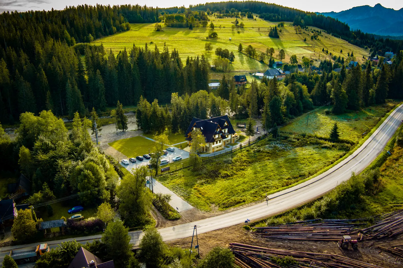
The trail starts in Witów and leads over Przysłop Witowski onto the ridge. For guests at Kojsówka that means something no room in Zakopane can offer: you set off after breakfast and within a few minutes you are already on the trail, without getting into the car.
It is a real advantage, especially in season. The car parks at Siwa Polana, at the entrance to the Chochołowska Valley, fill up before midday on summer weekends. Here the parking problem simply does not exist.
What the route is like
The first stretch is a typical Podhale climb: a lane between houses, then forest. The gradient is even, with no steep steps, so the pace is set by your fitness rather than by technique.
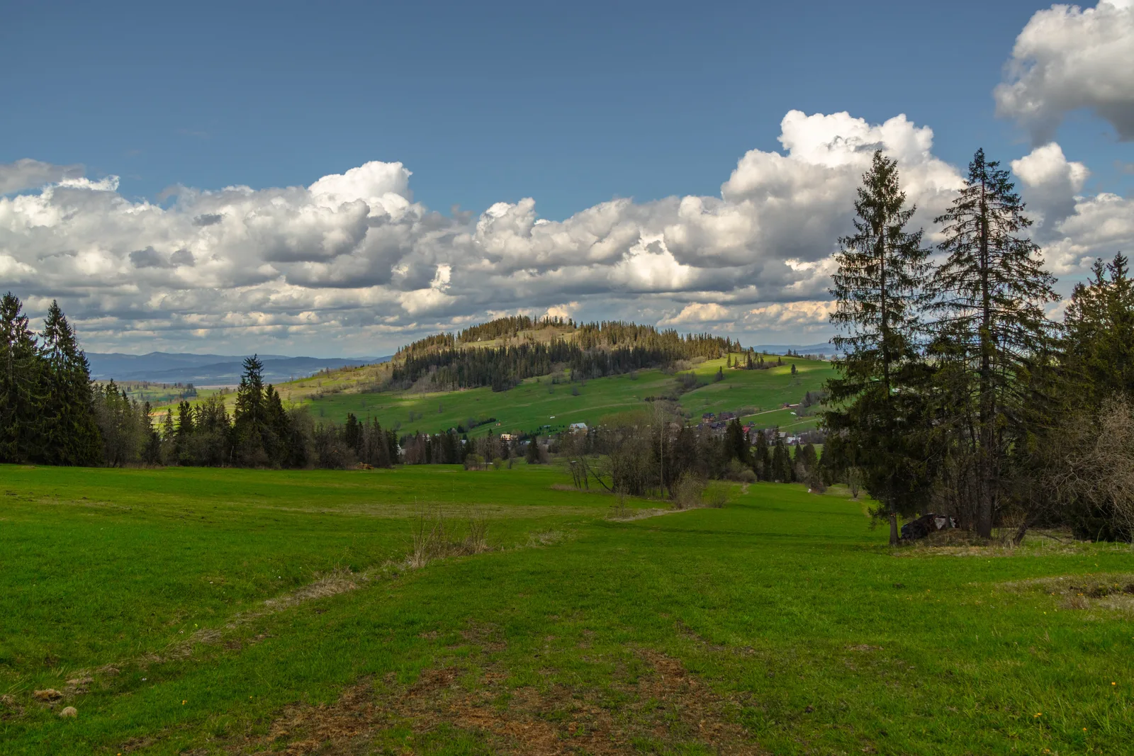
Higher up the forest thins and clearings appear. It is on those, rather than on the summit itself, that the views open: on the Polish side around the Bzdykówka and Basiorówka clearings, and nearer the border on the broad pastures on the Slovak side. It is worth knowing this in advance, because the summit itself is mostly wooded, and anyone expecting a panorama exactly at the top may be disappointed.
What you can see from the trail
From the open parts of the ridge there is a panorama of the Western Tatras: from Bystra and Starorobociański Wierch across to the Czerwone Wierchy. In the other direction you see the Czarny Dunajec valley and the houses of Witów and Chochołów.
The best light is early morning and before sunset. In summer, cumulus cloud often builds over the Tatras in the middle of the day and hides the peaks. Anyone after photographs should set off straight after breakfast.
When to go: all year round
Spring
April and May are the quietest time. While the Chochołowska Valley is bursting with people coming for the crocuses, Magura can be empty. Expect mud on the forest sections and patches of snow higher up.
Summer
Peak season, but still without the crowds. In summer it works as a route for a day when you do not want to drive anywhere further: out after breakfast and back for lunch is well within reach.
Autumn
The best time for views. The air is clear, the forest has turned, and the morning mist in the Czarny Dunajec valley settles below the ridge. The day is shorter, though, so it is worth starting earlier.
Winter
In winter the route is used by ski tourers and by people on snowshoes. In snow the walking time increases and the track may not be broken, so without the right equipment and experience it is better to take a walk along the floor of the Chochołowska Valley instead.
With children and with a dog
The route is technically easy, so it suits children who already walk longer distances on their own. With younger ones it is worth bringing a carrier for part of the climb and treating the first clearing as the destination, without insisting on the summit.
Because the trail does not go through Tatra National Park, the ban on dogs that applies in the Tatras themselves does not apply here, and there is no entrance fee. For our guests travelling with animals this is often the only chance to walk in the mountains together, as it is impossible in the Tatras proper. It is worth checking the rules in the border area before setting off, as they are updated from time to time.
What to take
- Boots with soles that grip in mud; the forest sections stay wet for a long time after rain.
- Water for at least three hours; there is no refreshment stop or hut on the route.
- A windproof layer, as it is noticeably windier on the open ridge than in the valley.
- A charged phone with an offline map downloaded; signal on the ridge is patchy.
- Identification, if you are planning to drop down onto the Slovak side.
What next: along the ridge to Gubałówka
Magura Witowska does not have to be the end of the walk. A trail carries on along the ridge towards Gubałówka. It is about 11.3 km and roughly three and a half hours from here to the trail junction. Pająkówka is a similar distance from the summit.
That is the option for anyone who wants a full day's walk and to get back to Witów by public transport or by taxi. It is worth arranging the return before you set off, as there is nowhere on the ridge to change the plan.
On the other side of the border the blue trail drops down to Oravice: about 1 hr 10 min down and 1 hr 35 min the other way. There is a border crossing at the summit, Góra Magura – Oravice.
Afterwards
The descent to Witów takes about 1 hr 15 min, so setting off after breakfast means being back by early afternoon. What usually happens here next is this: the hot tub heating from midday, dinner off the barbecue, and an evening by the fire down by the river.
If the weather turns halfway through the day, the Chochołowskie Thermal Baths are a few minutes away by car. It is worth having that fallback in mind, because the weather over the Tatras changes faster than the forecasts say.
Źródła
Last updated: . Walking times, opening hours and prices are given as a guide. Check the current details and conditions before you set off.
More in this category
WalksAuthor
The Rezydencja Kojsówka team
Hosts of the house in Witów
We run Rezydencja Kojsówka in Witów, at the mouth of the Chochołowska Valley. The posts on this blog come from what guests ask us over breakfast, filled out with information from walking maps and from Tatra National Park material.