On foot to Gubałówka along the ridge, over Butorowy Wierch
You can ride up Gubałówka with the crowd, or walk onto it along the ridge from the west — a route only a handful of visitors know about. It starts a few steps across the river.
The Rezydencja Kojsówka team · · 8 min read
In brief
- Gubałówka is 1,126 m; neighbouring Butorowy Wierch is higher, at 1,160 m.
- The two summits are linked by a scenic section of the Papal Trail running along the ridge.
- From Magura Witowska to the trail junction by Gubałówka is about 11.3 km and roughly three and a half hours.
- From Butorowy Wierch you can take a chairlift down to Kościelisko, and from Gubałówka the funicular down to Zakopane.
- The panorama takes in the Polish and Slovak Tatras, Podhale, the Pieniny, the Gorce and the Żywiec Beskids.
Crowds ride up Gubałówka every year. By funicular from Zakopane, in a few minutes, straight to the stalls selling cheese. It is the best-known view in Poland and at the same time one of the most crowded places in Podhale.
There is another way. The same ridge runs a long way west, as far as Witów, and you can simply walk onto Gubałówka from behind, meeting almost nobody all day. The climb starts a few steps across the river, right beside us.
The route in figures
| Detail | Value |
|---|---|
| Gubałówka | 1,126 m |
| Butorowy Wierch | 1,160 m, higher than Gubałówka |
| Range | Spisz-Gubałówka foothills (the Gubałówka range) |
| Ridge section | the Papal Trail, Butorowy Wierch – Gubałówka |
| From Magura Witowska | about 11.3 km, roughly three and a half hours |
| Down from Butorowy | chairlift to Kościelisko (running since 1978) |
| Down from Gubałówka | funicular to Zakopane |
| Terrain | outside Tatra National Park |
The start: a few steps across the river
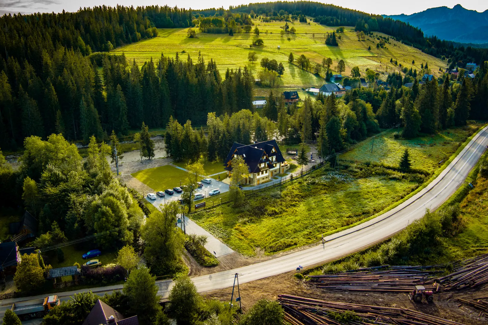
The Gubałówka ridge begins above Witów, and this is the shortest way onto it. Cross the river, climb the path, and after half an hour or so you are on a grassy ridge with the Tatras on your right.
We show guests the exact spot at breakfast, because it is easier to explain looking across the valley than to describe in writing. It is one of those things you will not find in a guidebook, and one of the best reasons to be staying in this particular place.
East along the ridge
The route follows roughly the line of the ridge the whole way, heading towards Zakopane. The climbs and descents are gentle, but they add up. This is not a stroll but a full day's walk. From Magura Witowska to the trail junction by Gubałówka is about 11.3 km and roughly three and a half hours.
Its greatest advantage is that the view is with you almost the whole way. You can see the Western Tatras in their entirety, in an arrangement you cannot get either from below or from Gubałówka itself.
Butorowy Wierch: higher than Gubałówka
Before you reach Gubałówka you pass Butorowy Wierch — and here is a small fact that surprises most people: it is 1,160 m, which makes it higher than its famous neighbour. It lies between Palenica Kościeliska (1,183 m) and Gubałówka, above Kościelisko.
A chairlift runs down from Butorowy to Kościelisko, opened in 1978. That is the first point at which you can cut the walk short: ride down, get back to Witów and have the afternoon free. The two summits are linked by a scenic section of the Papal Trail.
Gubałówka: what everyone comes for
The panorama from Gubałówka takes in the Polish and Slovak Tatras, Zakopane and Podhale, and in good visibility the Pieniny, the Gorce and the Żywiec Beskids as well. At the top you will find the ski slopes on Polana Gubałówka, a gravity slide, the Polonia Restituta sculpture, the iron cross put up by Professor Tytus Chałubiński, and a 102-metre transmitter mast.
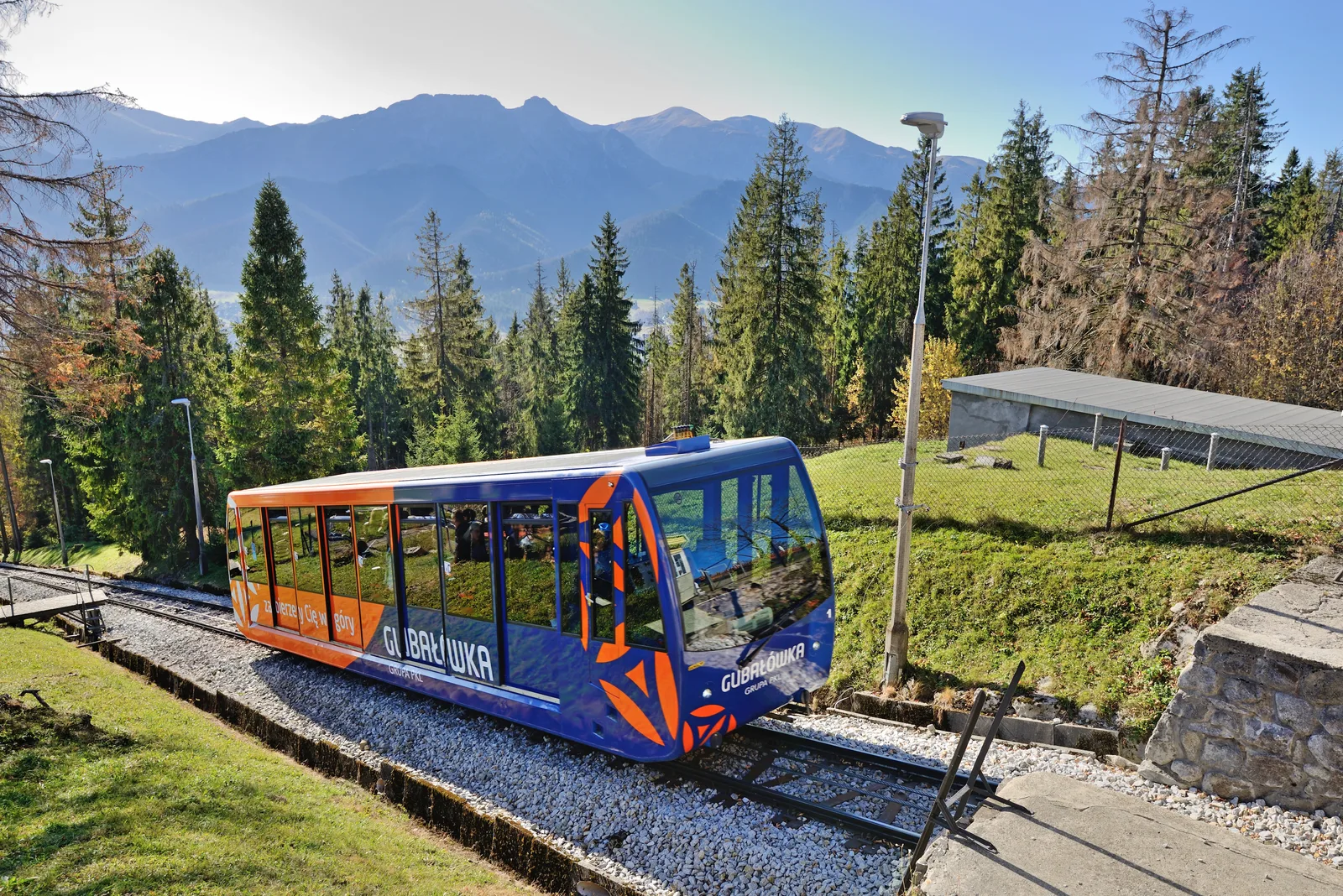
The funicular linking Gubałówka with Zakopane was built in 1938; it is 1,298 metres long and climbs about 300 metres. It was modernised in 2001. For you it is the most convenient way down into Zakopane, from where you get back to Witów by bus or taxi.
Three options to choose from
- Short: up onto the ridge above Witów, a stretch of the route and back the same way — half a day, no logistics.
- Medium: along the ridge to Butorowy Wierch and down by chairlift to Kościelisko, which is close to Witów.
- Full: the whole route to Gubałówka and down by funicular to Zakopane, returning by public transport — a whole day.
- A winter version for those who know what they are doing: the same ridge is used for ski touring and snowshoeing, but it needs experience and a check on conditions.
Practicalities: getting back, dogs and weather
The most important thing to settle before setting off is the return, because the route ends a dozen or more kilometres from where it started. The simplest thing is to arrange a lift, or to check the timetable of the minibuses running from Zakopane towards Chochołów.
The route does not go through Tatra National Park, so unlike in the valleys you can walk here with a dog. The ridge is open and exposed to the wind; in a thunderstorm it is the worst possible place to be, so check the forecast properly rather than glancing at it.
There is no water on the way and no shop. Take enough for the whole day, a charged phone with an offline map, and something warm, because on the ridge it can be several degrees colder than in the valley.
Źródła
Last updated: . Walking times, opening hours and prices are given as a guide. Check the current details and conditions before you set off.
More in this category
WalksAuthor
The Rezydencja Kojsówka team
Hosts of the house in Witów
We run Rezydencja Kojsówka in Witów, at the mouth of the Chochołowska Valley. The posts on this blog come from what guests ask us over breakfast, filled out with information from walking maps and from Tatra National Park material.